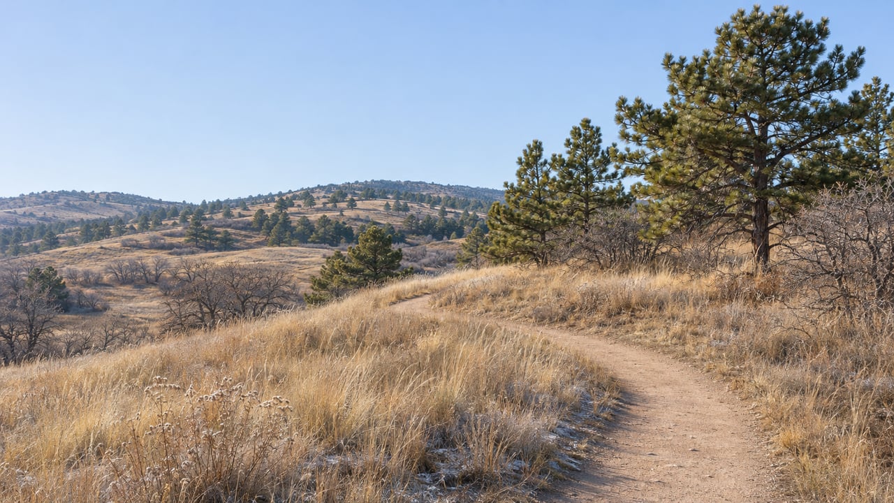
On January 1, the Wildcat Mountain Trail System in the Backcountry Wilderness Area will close for three months, as it does every year. Just to the north, the Highlands Ranch Community Association is finishing the design for a 202-acre park. Under the current plan, those trails would stay open all winter, admit anyone, and give mountain bikers their own trails.
Wildcat Regional Park will sit next to the trails Highlands Ranch already knows, yet almost every rule is planned the other way around. Several of the dates that make it real fall between now and New Year's Day.
Six weeks left on Wildcat Mountain this year
The Wildcat Mountain Trail System opened in 2006. It runs about 5.5 miles across two loops and one out-and-back.
- Trails: Wildcat Mountain Trail, Ponderosa Loop and Waterin' Hole Loop
- Parking: the HRCA lot at 11950 Monarch Blvd., about 2 miles south of McArthur Ranch Road, or Rocky Heights Middle School at McArthur Ranch Road and Monarch/Quebec
- Connection: the Douglas County East/West Regional Trail starts at Rocky Heights Middle School and runs south to the Wildcat loops
From January 1 through March 31, HRCA closes the whole system so deer and elk can winter with little human disturbance. That's also when golden eagles begin courtship and nesting, and HRCA says the U.S. Fish and Wildlife Service requires the closure. The other trails reopen April 1, but the Wildcat Mountain Trail itself stays closed into late summer if the eagles nest on the mountain. HRCA says they have nested there every year since 2011.
These trails are also members only. HRCA owns the land and describes the trail network as something like its fifth recreation center. Users show their rec center ID, and more than 150 volunteers help patrol. Dogs aren't allowed on the Wildcat Mountain system at all. On HRCA trails, leashed dogs are allowed only on the Rocky Gulch Trail, and the public East/West trail also takes leashed dogs.
HRCA's seasonal closure applies to the Wildcat Mountain system. The Highlands Point Trail System, reached from Mountain Vista High School or the Douglas County trailhead at 11700 Grigs Road, is the other HRCA network in the Backcountry.
The park next door runs on a different set of rules
Wildcat Regional Park sits in the northeast part of the Backcountry Wilderness Area. The Highlands Ranch Herald describes it as the land behind Rocky Heights Middle School, stretching from Monarch Boulevard to Griggs Road. That puts it right next to the trailheads Wildcat Mountain users already park at.
Here's how HRCA's published plan compares with today's trails:
| Wildcat Mountain Trail System today | Wildcat Regional Park as planned | |
|---|---|---|
| Who can use it | HRCA residents and accompanied guests | Open to the public |
| Winter | Closed January 1 through March 31 | No seasonal closures currently planned |
| Mileage | About 5.5 miles | About 5 miles bike-only, 3 miles surfaced, 3 miles natural-surface multi-use |
| Bikes | Allowed on all Backcountry trails, shared with hikers | Bike-only trails plus a Bike Skills Area |
| Dogs | Not allowed | Allowed on multi-use trails, not on bike-only trails |
The bike trails are the biggest change in day-to-day use. HRCA's etiquette list for the current trails tells riders to slow down on corners and save speed for downhill courses, because the Backcountry trails are beginner, family-oriented singletrack. The new park plans its own bike-only system, including downhill-focused segments, so riders and walkers would be on separate trails. HRCA says the Bike Skills Area will be built for beginners through intermediate riders and likely won't include expert-level features because of insurance and risk management.
HRCA's FAQ also covers the practical details. The park will have no gates and no lighting, and portable restrooms will sit near the parking area inside a screening enclosure. Posted hours will run from one hour before sunrise to one hour after sunset, the same as existing HRCA trails.
Why a year-round park can sit beside a seasonal one
A ridgeline runs along the park's southern edge, and HRCA's maps show a high-use area south of it for a herd of about 150 elk that use the land year-round. The new trails will stay north of the ridge. HRCA points to the Highlands Point system as proof the approach works, since a similar ridge separates those trails from elk habitat and the elk have kept using the area.
The eagles are closer. HRCA says the eastern section of the proposed trails falls within a half-mile buffer of the active golden eagle nest on Wildcat Mountain. It also notes that homes, streets, Rocky Heights Middle School and its parking lot, sports fields and a major arterial road already sit closer to the nest than these trails would. HRCA says it is working with Colorado Parks and Wildlife and the U.S. Fish and Wildlife Service on compliance.
The trail plan replaced a much bigger one. An earlier vision for the parcel called for sports fields and indoor recreation, and HRCA says one plan included more than 1,000 parking spaces. Colorado Community Media reported that a 2024 county concept included possible soccer, football and baseball fields, indoor sports fields and an Olympic-size pool. The same coverage reported that Raptors Athletics, a youth sports organization, backed the site as room to grow. Denver7 covered neighbors who opposed fields there in July 2024, citing elk, golden eagles and other wildlife.
Three county votes followed.
- At an August 5, 2024 meeting, county commissioners voted unanimously to halt further action on a $250,000 feasibility study, according to Colorado Community Media. Before the vote, one commissioner argued against funding the study until results from a county open space survey were in.
- On March 4, 2025, commissioners voted 3-0 to direct staff to transfer the property to HRCA with a three-year reverter clause.
- At an October 14, 2025 land use hearing, the county approved a quitclaim deed for the 202 acres and $3.5 million for trails. Colorado Politics reported the vote the next day.
That reverter clause sets the pace. HRCA's FAQ says the association must build a trail system within three years or ownership returns to Douglas County. HRCA will run and maintain the park once it's finished.
Between now and the closure, the plan gets specific
As of publication on November 19, the coming weeks bring several dates in a row:
- December 11: Great Outdoors Colorado is scheduled to announce its first-cycle awards. On August 25, county commissioners approved applying for $500,000 from GOCO for the Wildcat trail network, as reported by Citizen Portal.
- December 19: HRCA's Winter Solstice Celebration runs from 3:30 to 5:30 p.m. at Backcountry Base Camp, 6005 Ron King Trail. Tickets are $30 per car, and the afternoon includes s'mores and warm drinks by the fire, seasonal crafts, a guided intentions walk and a winter ecology lesson.
- By the end of 2026: HRCA expects to complete and post the final park design, a timeline the Highlands Ranch Report repeated in its October 19 edition.
- January 1: The Wildcat Mountain Trail System closes through March 31.
- March 2027: Colorado Parks and Wildlife is scheduled to announce its non-motorized trail grants, including the county's $50,000 request.
- Early 2027 through late 2027 or early 2028: HRCA's project timeline shows construction starting in early 2027, phased work through the year, and an estimated opening in late 2027 or early 2028.
What the final map will settle for nearby streets
The posted design will answer the questions closest to home. HRCA says the current page shows a conceptual layout, and trail alignments may still change before the final map is posted. The distance from the trails to the nearest homes will be set once final alignments are, and the Bike Skills Area's features and layout are also still being finalized.
Parking has already come up. HRCA's November 2025 board minutes, which refer to a public meeting on Wildcat, record board concerns about the size of the parking lot and about street parking in neighboring communities. HRCA picked this site partly because it is close to homes and reachable from existing roads. For Monarch Boulevard and the streets around Rocky Heights Middle School, that makes the parking plan the part of the final map to read first.
Updates, including the final map, will be posted on HRCA's Wildcat Regional Park project page as design and construction move forward.
Our team at The Denver Trio keeps track of changes like this because a new trailhead, a parking lot or a bike-only trail system can change how a street in Highlands Ranch works day to day. If you live near Monarch Boulevard and wonder how Wildcat Regional Park might show up in your home's value, ask us for a free home valuation. We'll keep an eye on the map with you.